- Avionica si GPS
- Casti pilot si accesorii
- Harti si manuale de zbor
- Statii radio
- Echipament Supravietuire
- Accesorii Aeronava
- Mentenanta Aeronava
- Accesorii Aeroport
- Accesorii pentru echipaje
- Articole Imbracaminte
-
Instruire Piloti (Carti / CD/DVD)
- Simulatoare de Zbor
-
Cadouri
- Avionica si GPS
- Casti pilot si accesorii
- Harti si manuale de zbor
- Statii radio
- Echipament Supravietuire
- Accesorii Aeronava
- Mentenanta Aeronava
- Accesorii Aeroport
- Accesorii pentru echipaje
- Articole Imbracaminte
-
Instruire Piloti (Carti / CD/DVD)
- Simulatoare de Zbor
-
Cadouri
Go digital
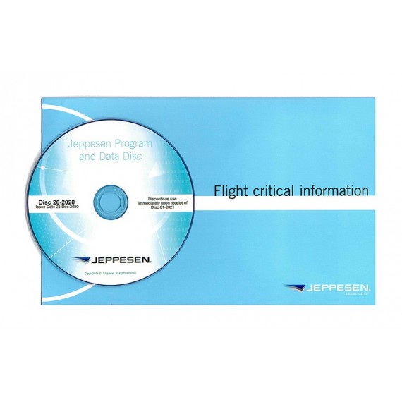
JeppView is an application that provides you with full-color, high-quality, vector-based electronic approach charts in a variety of configurations to meet your intended use. It provides a ground supplement or backup to digital flight solutions, and allows you to organize, save and print charts as unique RoutePacks and Trip Kits for inclusion in preflight planning or for use as a flight deck backup.
In addition, every JeppView coverage also comes with paper enroute and area charts to supplement the digital versions.
Spend more time flying and less time preparing to fly with our electronic and paper charts. Rely on our industry experience to give you the most recent navigation information in customized, easy-to-use formats.
Search and view any chart
JeppView removes unnecessary complexity by offering a simple and intuitive way to search, view and print any chart along a planned route, including enroute and terminal charts. Here are some of the features that set it apart:
- High-resolution terrain data available
- Formatting for PDF files for easy tablet or printer-friendly view
- High-resolution cultural data
- Enhanced weather overlays for increased decision support
- “Show approaches within…” maximum radius configuration by user
- Rotate and split screen view of charts
- NEXRAD weather overlay optional for Continental USA with winds aloft, turbulence, icing, echo tops and more
- You can select single or multiple layers to be overlaid on the enroute map, and can display the weather legend for assistance in understanding the weather symbols and colors, and to indicate the valid time of the data
Nici un review.