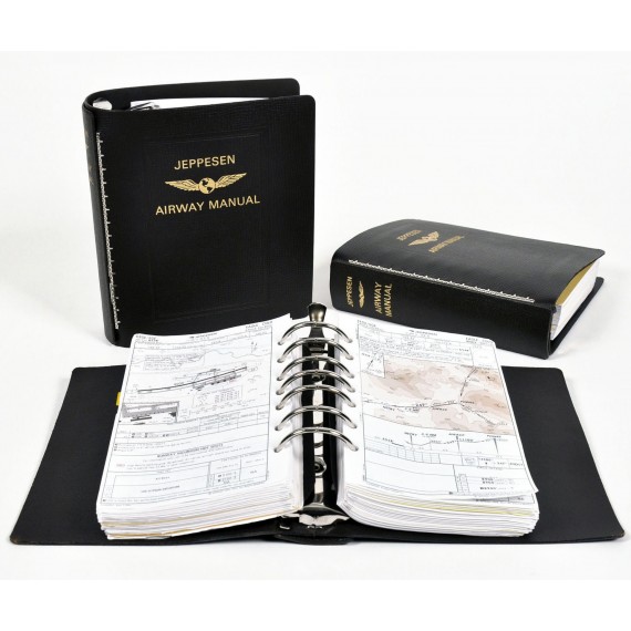


Jeppesen Paper and Airway Manual IFR Solutions
To provide you with complete, consistent, and up-to-date information, both in the air and on the ground, Jeppesen offers the following paper and airway manual solutions:
Standard IFR Paper Services
Our Airway Manuals offer the most complete, accurate and up-todate navigation information in an intuitive format with worldwide consistency. The Standard Jeppesen
Airway Manual includes:
Limited or Special coverages may or may not contain all items and may include additional items specific to its purpose.

Revision Service
Jeppesen’s Revision Service starts you off with a complete set of current charts for the geographic area you request. Your initial charts are then kept up to date by revisions sent automatically every one or two weeks, depending on the service you select. With each revision, you simply replace, add, or remove specific charts as instructed in the revision letter provided. Annual payment only option available. All charts are revised on an as needed basis. If there are no changes to a chart or coverage, revisions are not issued.
Trip Kits
Trip Kits allow you to purchase a Standard Airway Manual and Supplement coverage on a one-time basis for trips outside of your standard coverage area. Trip Kit chart content is identical to the
standard initial manuals, but do not include chart pockets or tabs.
No revision service is provided.
High Performance IFR Paper Services
High Performance IFR Paper Services includes only hard surface runways with predetermined lengths required by high performance aircraft. This allows you to spend less time searching for the
appropriate airport and filing revisions.
HP4000 Chart Services
HP4000 Chart Services provide terminal charts for civilian airports with hard surface runways of 4000’ and longer. Available for the contiguous U.S. only. Services include:
HP6000 Chart Services
HP4000 Chart Services provide terminal charts for civilian airports with hard surface runways of 6000’ and longer. The HP6000 service is available for worldwide coverage. Services include:
HP6000 Text
Contains text information for HP6000 services. This is sold separately to eliminate text page duplication between coverages.
Supplements
Supplements are services designed to complement other Jeppesen offerings. They can be used in conjunction with other services, used on their own or purchased as Trip Kits.
Enroute
Airport Information Manual
Reformatted and indexed to coincide with the FAA AIM, Jeppesen’s Airport Information Manual includes Air Navigation U.S., Radio Aids, Aero Lighting, Airspace, ATC, Air Traffic Procedures, Emergency
Procedures, Safety of Flight, Meteorology, Medical Facts, Charts and Publications, Helicopter Ops, Entry Requirements, Tables and Codes, Appendices and Glossary and Index. Revised when subject to change.
Military Airports
Regional military supplements provide you with airfields and procedures exclusive for military use, as well as joint civil/military airfields where pre-approved authorization for the airfield is required.
Qualification and Familiarization Charts
Our Airport Qualification and Familiarization Charts present an actual photograph of the runway environment, graphical presentation of terrain and other obstacles, and pertinent local traffic information to increase pilot situational awareness and support safe operations. This information is especially helpful for pilots to develop a good awareness of the airport environment prior to flying the actual approach. Available for select airports only.
Nici un review.