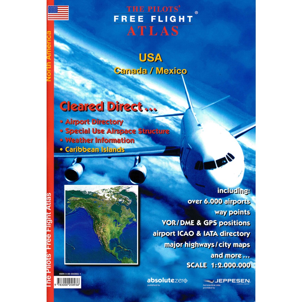
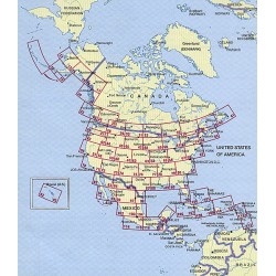
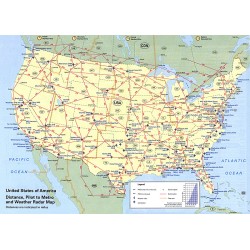
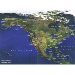
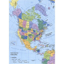
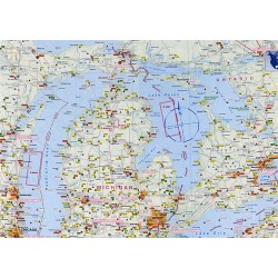
Base cartography is the US Road-Atlas 1: 2.000.000 which includes mountain ranges, lakes, rivers, etc. . As well, all other elements such as, cities, towns. Parks and points of interest or historic value and of course, the railways and motor-ways themselves.
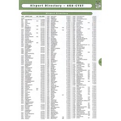
To this, we have added all airports in USA (over 5,500) and colour coded them by runway length /surface and category ,ie. International, Regional, Civil/Military, etc.. VOR/DME , Reporting points, Waypoints), Volmet frequencies and special Use Airspace are also shown making our new "Pilots' Atlas" the first of it’s kind.
No customer reviews for the moment.
Reviews can be placed by customers that purchased this product