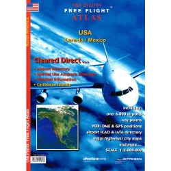
The Pilots Atlas Eastern Hemisphere (Europe, Middle East and S.E. and Asia)

Hurry! only 1 items left in stock.
159,00 Lei
TVA inclus
Cel mai mic preț al produsului în ultimele 30 zile: 159,00 Lei
Cantitate

In stoc magazin
 

Garanția produselor și serviciile post-vânzare


Livrare, transport și ridicare din Showroom


Condiții de returnare și dreptul de retragere

JNC scale, topographical charts are used showing over 4,500 airports Waypoints, VOR/DME, NDB´s and special use airspace are included, plus weather frequencies, points of interest, landmarks, airport-directory with ICAO-codes, railways, rivers, major highways, just to name a few. Airports are colour coded by runway length and surface. International/ regional Aerodromes are coded by symbol shape. Pilots now have the ability to point out objects on the ground or know immediately where they are in relation to surrounding airports or points of interest: an all-in-one source of information for pre-flight or during flight.

Hurry! only 1 items left in stock.

Fisa tehnica

Format
Carte Tiparita

Recenzii

Momentan nu există recenzii ale clienților.

Recenziile pot fi plasate de clienții care au achiziționat acest produs

1 other product in the same category: